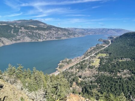
If you’re looking for hikes in the Columbia River Gorge that are packed with scenery but without the crowds, check out Mitchell Point. This is especially true if you want a view like Angels Rest — maybe better — but can’t even find parking there.
Your first thought here might be, “Where is Mitchell Point? I don’t know that one.” Well, you do; you probably just don’t know its name.
When you’re driving east on I-84, just past Starvation Creek State Park and before coming around that big rock formation a ways before Hood River? That’s Mitchell Point. And while it might not look like it from the road, there is in fact a trail up there. A short, steep, impossibly scenic trail which, unless you’re afraid of heights, will be a fun and rewarding adventure for you.
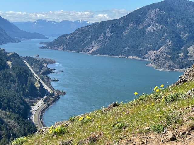
At the top of this post is the view looking west. Here’s the view east:

Mitchell Point: Where to Start
Easy. Just take the Mitchell Point Exit (#TK) off I-84 eastbound, and park in the lot. There is literally no other place to go!

Mitchell Point: The Hike
As described here on the Oregon Hikers Field Guide, it’s 2.6 miles roundtrip, gaining 1,270 feet on the way up. So it’s rather steep — more so than Angles Rest, but also about a mile shorter each way.
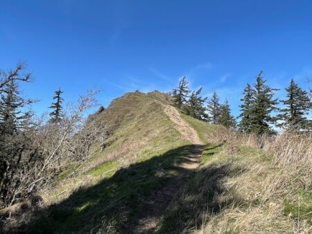
You’ll be in the trees for about a mile, then pass under some power lines, then up a final, highly exposed ridge (above) to the small, highly exposed summit.
Is it worth it? This video may help answer that one for you.
If you are afraid of heights, or unsure of your footing, there are still good views from the trailhead and from just below the final, scary bit. All in all, Mitchell Point is worth a stop!
Read about more great hikes near Portland. Connect with Paul:
-
- Twitter (@AuthorPaulG)
- Instagram (pdx.paul.g)
- “60 Hikes” page on Facebook.
- I also write about life in a taxi, English soccer, and being in recovery
- Get it all in my free monthly(ish) e-newsletter below:


