


It is definitely getting to be wildflower time in the Columbia River Gorge! I went for another hike on March 28, doing a different loop at (and above) Catherine Creek, so here’s a quick post and report.
It was one of those magical days where it’s raining in Portland, completely socked in all the way to Mitchell Point, and then basically clear at the trailhead, about 80 minutes away. Gotta love spring in Portland!
I started at the traditional Catherine Creek trailhead, and went to the right like most people do — towards the creek crossing, arch, homestead and eventually upper meadows. But when I got to the creek I stayed left, following the old road now marked as County Road Trail on the Green Trails map.
It’s about a 1,000-foot climb, sometimes rather steep, and right where it flattens out there is an unmarked junction — get used to that! — where you can spot an old icebox or something on the right. Head out there for views back to Tracy Hill, which is the big grassy area on your left if you go the more common route, up through the meadows east of Catherine Creek.
I went back to the main trail, now heading east and mostly flat on Atwood Road (actually a trail), finally arriving at the crest of Rowland Ridge, elevation 1,300 feet. Here is a video panorama from there:
I headed east for about a mile and a half, eventually reaching a junction marked on the Green Trails map as Atwood Road and CO8. And there was a sign!
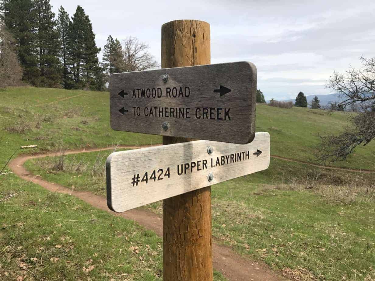
This is new for the area. Hell, official trails are new for the area. Of course, the sign and map don’t agree, but whatever. Take what you get.
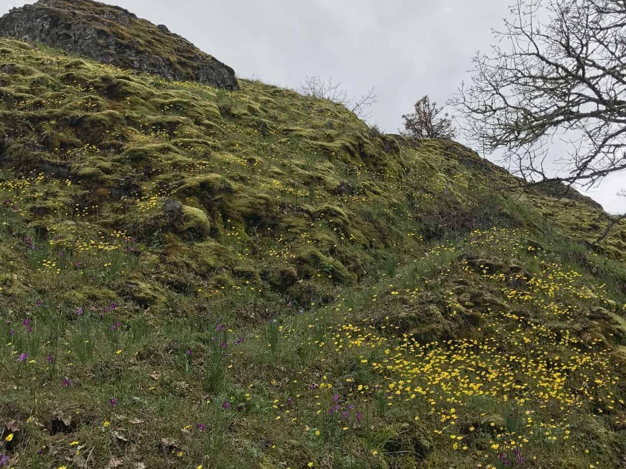
I headed down, towards the Upper Labyrinth, and the next section of trail is just glorious, winding through oak and pines and grasslands, with big views of the Columbia, Mount Hood, Rowland Lake, the Labyrinth — check out the gallery below to see what I mean.
You soon come to another junction, without a sign but quite obvious, where you turn left to head back for the car. This makes for a roughly 6.5-mile loop with nearly 1,200 feet of elevation. Going right at this junction (onto CO7, says Green Trails) gets you into the Labyrinth. And for you old-timers, that tree above you at this intersection used to be the Spirit Tree.
I wound down past the Pits, and I missed another unsigned junction, thereby adding a quarter mile and couple of hundred feet to my day. But all very worth it!
Here is my Gaia track:
Sorry about the coloring on the track. I am still getting used to Gaia on my iPhone. You can see the interactive version on the Gaia website.
My photo gallery (click on the first image to scroll through them all):


 Keep going.")


And finally, if only to invite you out there, a meadowlark has a song for you. You’ll probably not see one, but their voices are everywhere!