For years, people hiking the Oregon Coast Trail between Manzanita and Arch Cape via Neahkahnie Mountain and Oswald West State Park had to walk a couple miles on the shoulder of US Highway 101. No more, thanks to local nonprofit, citizen, government and volunteer efforts.
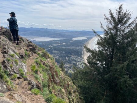
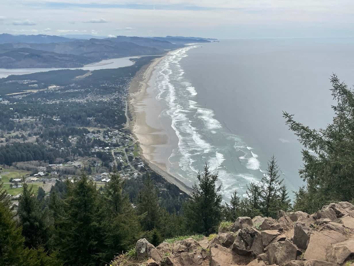
Neahkahnie Mountain stands some 1,600 feet above the Pacific and has a great view of beach, mountains, and sea. The problem for Oregon Coast Trail (OCT) hikers was that between the trailhead on its south side and the beach at Manzanita, there was no trail. You had to walk down the access road to 101, then along that to Nehalem Road, which leads to the beach.
But in the last few years, The Lower Nehalem Community Trust secured property along the east side of the highway, the City of Manzanita helped secure funding, private landowners allowed access across their land, and the Trailkeepers of Oregon and Northwest Youth Corps were brought in to build a new 1.8-mile section of trail connecting Oswald West State Park land with US 101. As part of the agreement, TKO agreed to maintain the trail for 25 years.
Special mention also goes to Connie Soper, who helped coordinate and inspire much of the effort and also wrote a terrific book about the Oregon Coast Trail:
(And yes, that’s an affiliate link, meaning if you use that to buy a book or anything else, you basically buy me a shot of espresso. Although in this case, I’ll donate the funds to TKO. Thanks!)
I hiked this new section recently, and here’s how it went.

This Can Be Part of Hiking the Oregon Coast Without a Car
First, a note that this is an Oregon Coast hike one could do without a car. There is bus service to Manzanita, on the #3 line from Tillamook, which in turn is reachable from Portland via the #5 bus. The bus schedules might necessitate spending a night at the coast, but is that such a bad thing? Manzanita is a lovely town, and with other bus services around, you could go up to Cannon Beach and do some great hiking from there, as well.
The bus stop in Manzanita is on 5th Street, conveniently next to Manzanita News and Espresso. From there, just walk down to the beach and then north (right) half a mile to where Nehalem Road comes down to the beach. That’s where I started my hike.
Here are More Ideas for Car-Free Hiking From Portland
Hike From Manzanita to Neahkahnie Mountain
This hike, with the new section of OCT, is 8.5 miles roundtrip with just over 1,600 feet of elevation gain. Just under a mile of that is on a fairly quiet, safe road.
I actually had a car and parked at the foot of Nehalem Road, so if you don’t have a car or prefer to park downtown, add about a mile to that distance.
Here’s the track from GaiaGPS:
It’s pretty cool to stand on a beach, look up at a big mountain, and see the exact spot you’re aiming for, knowing that in a couple of hours you’ll be up there, eating lunch, and looking back down at this beach.

The hike starts up Nehalem Road, which is wide, fairly quiet, and has lovely homes. It climbs gradually for 0.9 mile, then you have to hustle across 101. There’s no light or anything, but visibility is good. From there, just jump onto the well-signed new OCT section just across the way.


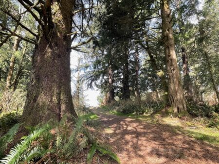
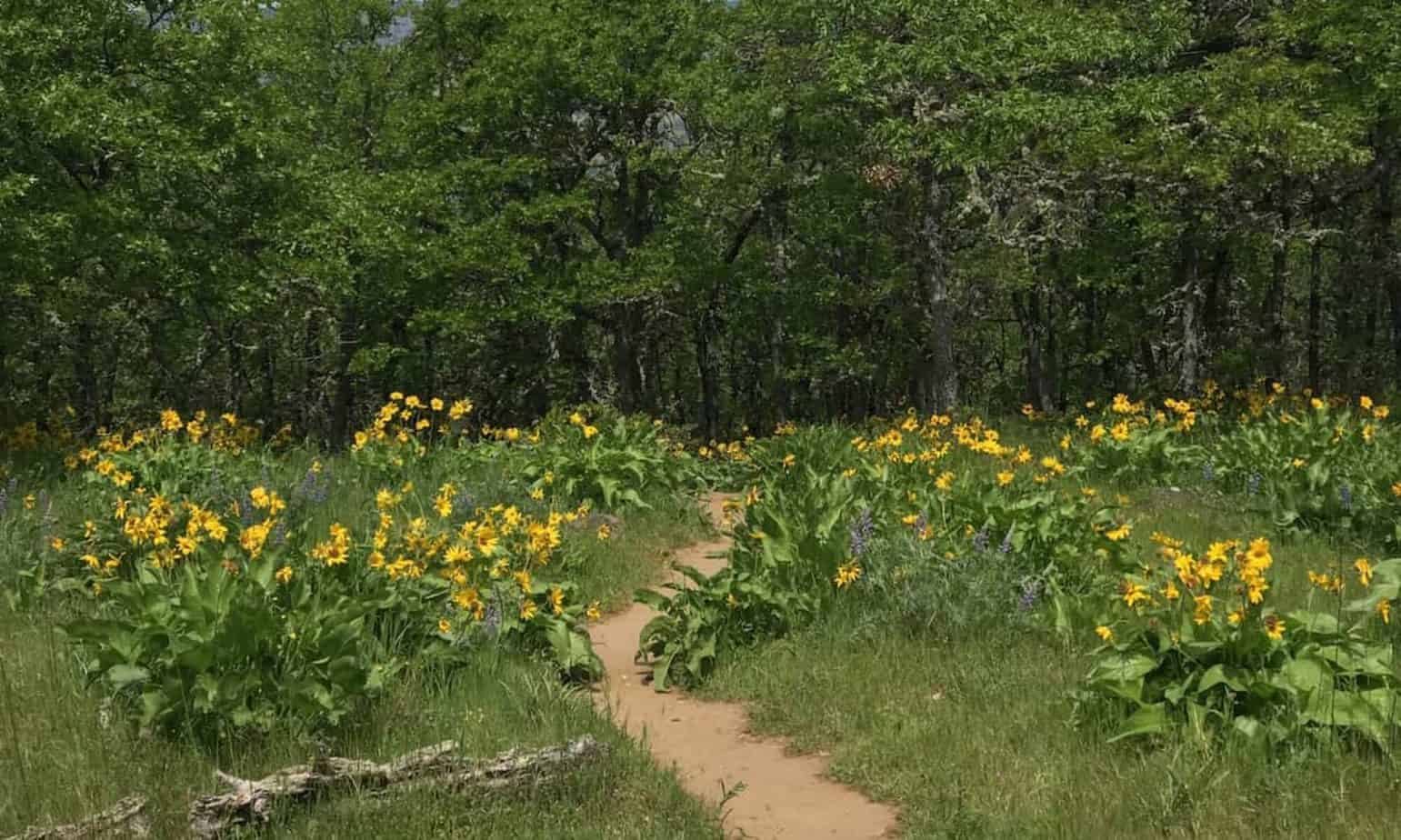
The new section of trail starts out just above 101, but somehow it doesn’t seem intrusive in terms of sight or sound. The trail at times follows under the power lines, at others dips into forest, and yet others goes through clearcuts that offer nice views of the area.


And it’s an absolutely lovely trail! Much of it is graveled, at times they actually planted ferns along the side of it, and when there’s a chance for water or mud on the trail, they built excellent solutions from natural materials on hand.
Well done, Trailkeepers! Folks should definitely join, donate and volunteer for Oregon’s trails.


Part of the new section goes through the Neahkahnie Headwaters Reserve, which is owned by the Lower Nehalem Community Trust and has been maintained by volunteers to protect it as a watershed and wildlife habitat. See a comment below this post for more.
After 1.8 miles of new trail — 2.7 since the beach at Manzanita, gaining 800 feet — you reach the Neahkanie South Trailhead, which many hikers already know about. From here, it’s the usual 1.5-mile climb to the summit, gaining about 800 feet in the first mile, then flattening out along the ridgeline to the viewpoint.
Here’s that hike from the Field Guide at OregonHikers.org — which is also built and maintained by volunteers from Trailkeepers of Oregon!
That viewpoint, by the way, is not the official summit, which doesn’t matter because the actual summit is off trail, covered in forest, and has no views. Also, as you can see here, folks afraid of heights might consider not going up the last little bit. There’s no risk of falling hundreds of feet, but a fall from here could definitely ruin your day.

All in all, hiking from Manzanita to Neahkahnie on this new section of Oregon Coast Trail is a cool beach-to-mountain adventure. It took me just over four hours to complete, and when it was done I had the beach and town at Manzanita to get a coffee, food, beer, whiskey, you name it.
This hike, and many other great options from Portland, can be found in my book, 60 Hikes Within 60 Miles of Portland:
(Same affiliate deal as above. Thanks!)
Hike the Oregon Coast Trail From Manzanita to Seaside
This hike could also be the jumping-off point for a much bigger hike along the Oregon Coast Trail. From Neahkahnie, continue north on the trail, cross 101, drop down to Short Sands Beach, then follow the trail for about 8 miles to Arch Cape.
(Note that as of March 2021, the section of OCT on the north side of Neahkhanie is closed. Check with Oswald West State Park for the latest.)
From Arch Cape, you can hike the beach to Cannon Beach, where you can pick up the section I described elsewhere from Cannon Beach to Seaside on the Oregon Coast Trail.
Read about more great hikes near Portland. Connect with Paul:
-
- Twitter (@AuthorPaulG)
- Instagram (pdx.paul.g)
- “60 Hikes” page on Facebook.
- I also write about life in a taxi, English soccer, and being in recovery
- Get it all in my free monthly(ish) e-newsletter below:


I helped plant those ferns. Thanks for appreciating them!
Here is more on the area, from a local volunteer who reached out:
“The section of the Oregon Coast trail you’ve recently reviewed has been popular with hikers since before it was officially open. Trailkeepers of Oregon did a great job on the trail that passes through Lower Nehalem Land Trust property from State Park land to Hwy 101. They had a lot to work with.
Members and staff of the Trust worked to secure the land, help to situate the trail, plant hundreds of trees, clean up trash and homeless campsites, fertilize those young trees, remove invasive species, construct sunshields, etc. We return again and again to nurture that beloved piece of ground. I recently joined a small group, including friends and neighbors, that rallied to clear an obstacle course for mountain bikes that had been constructed illicitly. It was most probably the work of people from outside our locale. We’ll be meeting often to continue the work as the weather improves.”
-JM