Most folks don’t really think “Oregon coast hikes” this time of year, since getting lashed by rain and wind while on the trail isn’t our idea of fun.
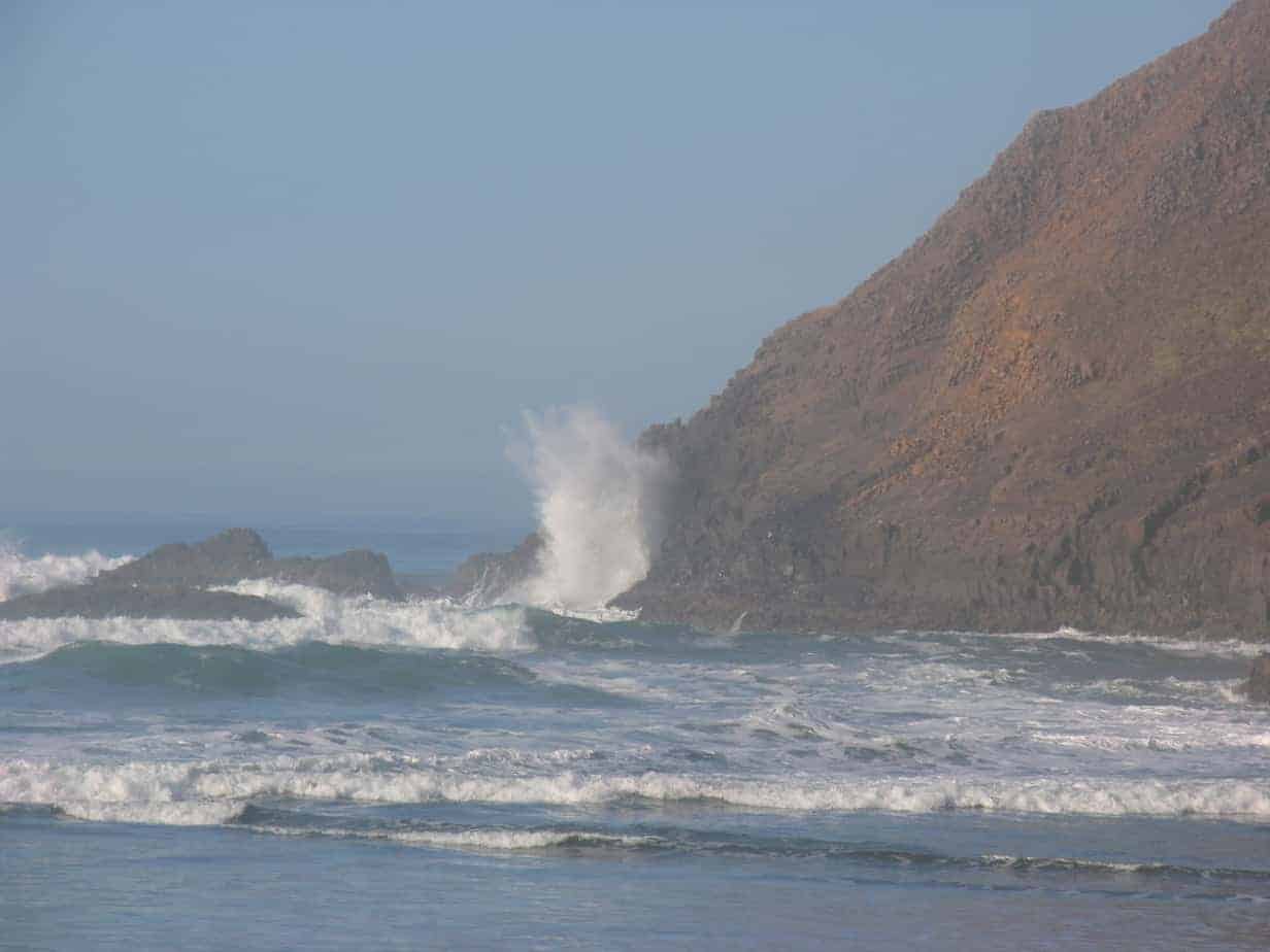
But I would just point out, while we’re here, that the forecast for this weekend at Cape Kiwanda is sunny and in the 50s. Yes, I said “Sunny and in the 50s.” At the Oregon Coast. In January.
And now — with thanks to the Oregonian for telling us — there’s a new recreation map for the Central Oregon Coast.

From the Oregonian story:
The Oregon Central Coast recreation map covers federal, state and private lands from Tillamook south to Coos Bay, and from the Pacific Ocean east to the Willamette Valley. Land ownership, roads, rivers and recreation opportunities are clearly marked, making it easy to use for navigation and planning.
For now, you can get this new map at the Siuslaw NF offices in Corvallis and Hebo. I assume they will eventually show up at the Forest Service office in Portland and/or at Nature of the Northwest, online here or in town at 800 NE Oregon.


