As I keep plugging away on the 5th edition of 60 Hikes Within 60 Miles of Portland, I finally got out for a proper exploration of the Cape Horn Loop. Turns out the newest Columbia Gorge hike is also one of the best fall colors hikes around.

This trail has been sort of emerging for years: from off-limits private property to conservation struggle with informal trails to, now, full-on Forest Service design and maintenance. It’s really two hikes put together: An upper loop of either 2.6 or 5.2 miles to viewpoints above the river, or a lower loop of about 4 miles that skirts the edge of cliffs just above the river and visits a waterfall — but is closed from February 1 through July 15 every year to protect nesting Peregrine falcons.
When the lower portion is open, like right now, you can hike the whole loop in 6.3 miles. This is one of the best and most varied Columbia Gorge hikes and, it turns out, one of the best fall colors hikes, as well.

So, I will describe the whole loop for now, since that’s my recommendation for this time of year (October), and basically how it will appear in the book.
Getting there is pretty simple . Just cross the Columbia on I-205, take the first exit for WA 14 east, and go 20 miles to Salmon Falls Road. Turn left there, then take two quick rights into the parking lot. There’s no fee to park there, and a standard Forest Service outhouse is available. The trail starts right across the road.
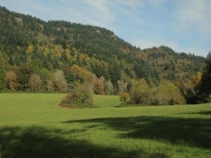
The hike starts in a thick forest which, this time of year, has great fall colors, mainly from big-leaf maples.
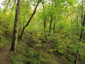
The first mile gains 650 feet in a series of switchbacks with not much to see, though to me it’s interesting to look for the old sections of volunteer-built trail, now blocked with logs and branches. Just for mileposts, at 0.9 miles ignore a trail leading to the right, and 1.1 miles you’ll pass almost under a set of power lines.
At 1.2 miles you come to this funny sign:

I mean, I get that I’m not a horse, but I was left wondering, do I go to the viewpoint and then come back? And why can’t horses see the view? Turns out it’s because the viewpoint is on a narrow, rocky ledge; but the main thing is, the trail goes left here. So don’t be a horse; go check out the view.
At this point, I was still in the fog, so I can’t show you the views from either place up on the hill. Just know that after 1.3 miles and 800 feet of gain, you’re done climbing for now. The trail drops down for just over half a mile, briefly joins an old road in the woods, then crosses current, paved Strunk Road. The next mile or so really reminded me of walking in England or Italy: rambling along country lanes past fields and houses and horses.


The next big highlight is a brand new viewpoint built to honor Nancy Russell of the Friends of the Columbia Gorge, who did much work to save this place from development. In fact, the first time I hiked Cape Horn years ago, there was a house here. The Friends bought it, tore it down, and put this up:
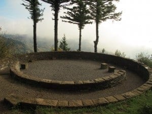
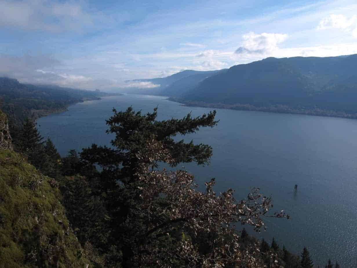
The fog was just lifting off the river, so this should give you some idea of the views from up there:

This is at the 2.6-mile mark, so when the lower trail is closed, you might as well head back here for the 5.2-mile loop. But right now, and whenever you can do the whole loop, keep on truckin’. The trail now drops a few hundred feet in half a mile to a new tunnel under Highway 14 — so much better than the death-defying dash of the old days!

Just past the tunnel, things really get steep, as you lose over 400 feet in half a mile, and some of it is on this stuff, which I declared The Stones of Tedium:

At the bottom of the hill is an unsigned junction which turns out to be another “horse vs. viewpoint” decision; again, don’t be a horse. Go right and follow the trail to the coolest viewpoints of the whole loop. In here, you’re actually walking on top of a railroad tunnel, some 250 feet directly above the river. And what views!
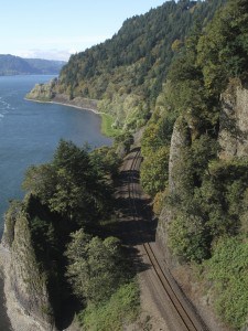
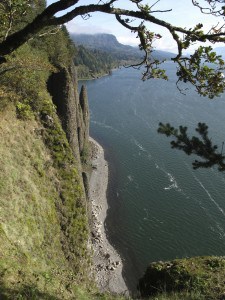
After some more Stones of Tedium, the trail crosses a bridge, another feature of the new trail. Used to be, the trail passed behind Cape Horn Falls, which was fun in the spring and summer, not so much in the winter.

Another steep drop brings you to the only semi-unfortunate thing about this hike, which is that the last 1.3 miles are on a road. Nothing to be done, since both sides are private and there’s no room for another trailhead, so just enjoy the country-road rambling and, in this case, fall colors.

All in all, a classic new Gorge hike, and like I said, one of the best fall colors hikes around, especially for being so close to Portland. Cape Horn Loop has a nice variety, just enough challenges to make it a test, but plenty of rewards, as well. See if you can catch it on a completely clear day, and the views should be outstanding.
Follow me on Twitter (@60HikesPortland) or Google+, or like the “60 Hikes” page on Facebook.
I don’t just hike, though: I’m also the Portland Breakfast Guy. Check out BreakfastinBridgetown.com.
[schema type=”review” name=”Cape Horn Loop Hike” description=”A 6.3-mile Columbia Gorge Hike that’s also one of the best fall colors hikes near Portland.” rev_body=”This is actually three hikes combined into one. You can do a simple climb to spectacular viewpoints, add in some country-road rambling, or do the whole loop and include dramatic clifftop walking above the Columbia River.” author=”Paul Gerald” pubdate=”2013-10-10″ user_review=”8″ min_review=”1″ max_review=”10″ ]


Cape Horn Loop Hike: The newest trail in the Gorge is also one of the best for fall colors. http://t.co/sjqHzz3DWv
[…] Cape Horn Loop is 6.3 miles and less than an hour from Portland. […]
[…] Where: Columbia River Gorge. Driving distance from Portland: About 30 miles. Permit? None. Length: 6.3 miles for the whole loop. Difficulty: Moderate. Best time for colors: Mid-October. Read my detailed report from Cape Horn here. […]