I went on my first hike of 2017 today, and it was a classic: Catherine Creek, definitely one of the best hikes for seeing wildflowers in the Columbia River Gorge.

It was also the first hike for the revision of my book, 60 Hikes Within 60 Miles of Portland, which will come out in Spring 2018.
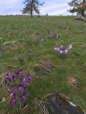
The early flowers are coming out, mainly the grass widows that mark the advent of spring in the Gorge every year. The real show is probably 2-3 weeks out, I would guess.
We did the basic east-side trip past the old homestead, up the draw, out into the meadows, then all the way up the hill to the seating area at the tree line. It’s two miles about 1,100 feet to get up there. We strayed east of the trail on the way down, passed by the top of the arch, and then down to the old highway.
There are many loops out there, now (as of the last few years) featuring actual marked trails, which appear on a map! If you haven’t been around for a while like some of us, this wasn’t always the case, here or to the west at the Syncline/Coyote Wall area. Used to be you had to kind of pick your way through here, and now it’s all civilized.
Another difference: Used to be there were like 50 of us who knew about the place. Now there were about that many cars there at 11 a.m. on a Tuesday. Lesson: If at all possible, avoid the weekends, or start at dawn, at Catherine Creek in the spring!
(By the way, I also featured this hike in my guide to the 10 best hikes for kids in the Gorge.)
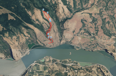
Here is a map, taken from my first-ever effort at using Gaia GPS on my iPhone. I am impressed, but still learning my way around it. I’ll do a blog post when I figure it out more.

And here is the actual Gaia track with photos. Click the title to see it on the Gaia page (free account required).
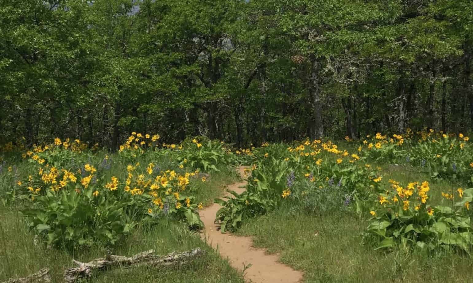
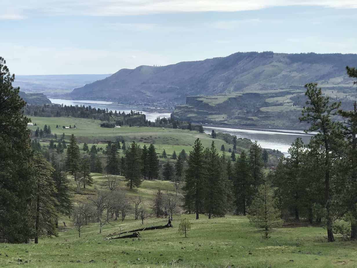
And a photo gallery. Just click on the first image to scroll through:


