Cape Lookout State Park offers everything you’d want from an Oregon coast hike: old-growth forest, secluded beaches, cliff-top views, and wildlife on land, wing, and water.
Why You Should Go
Three options await at this free trailhead: there’s a 1.8-miler down to the beach, a 2.3-miler down to the picnic area and campground, and a 2.4-miler out to the end of the Cape. (Those distances are all one-way). They each offer special charms, and all three are covered in detail in my guidebook 60 Hikes Within 60 Miles of Portland. But here I will describe the best of them, the hike out to the end of Cape Lookout itself, an easy, wooded stroll to a lookout hundreds of feet above the sea.

Getting There
Take US 26 from Portland, driving 20 miles west of I-405, then bear west on OR 6, following a sign for Tillamook. Drive 51 miles to Tillamook, and continue straight through the intersection with US 101. From there on, you will be following signs for Cape Lookout State Park and the 3 Capes Scenic Route. After crossing US 101, go two blocks and turn left on Stillwell Street. Drive two more blocks and turn right on 3rd Street. Travel 4.9 miles and turn left. After 5.3 miles you’ll pass the state-park campground and day-use area. The trailhead is 2.7 miles past the campground, on the right.
The Hike
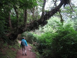
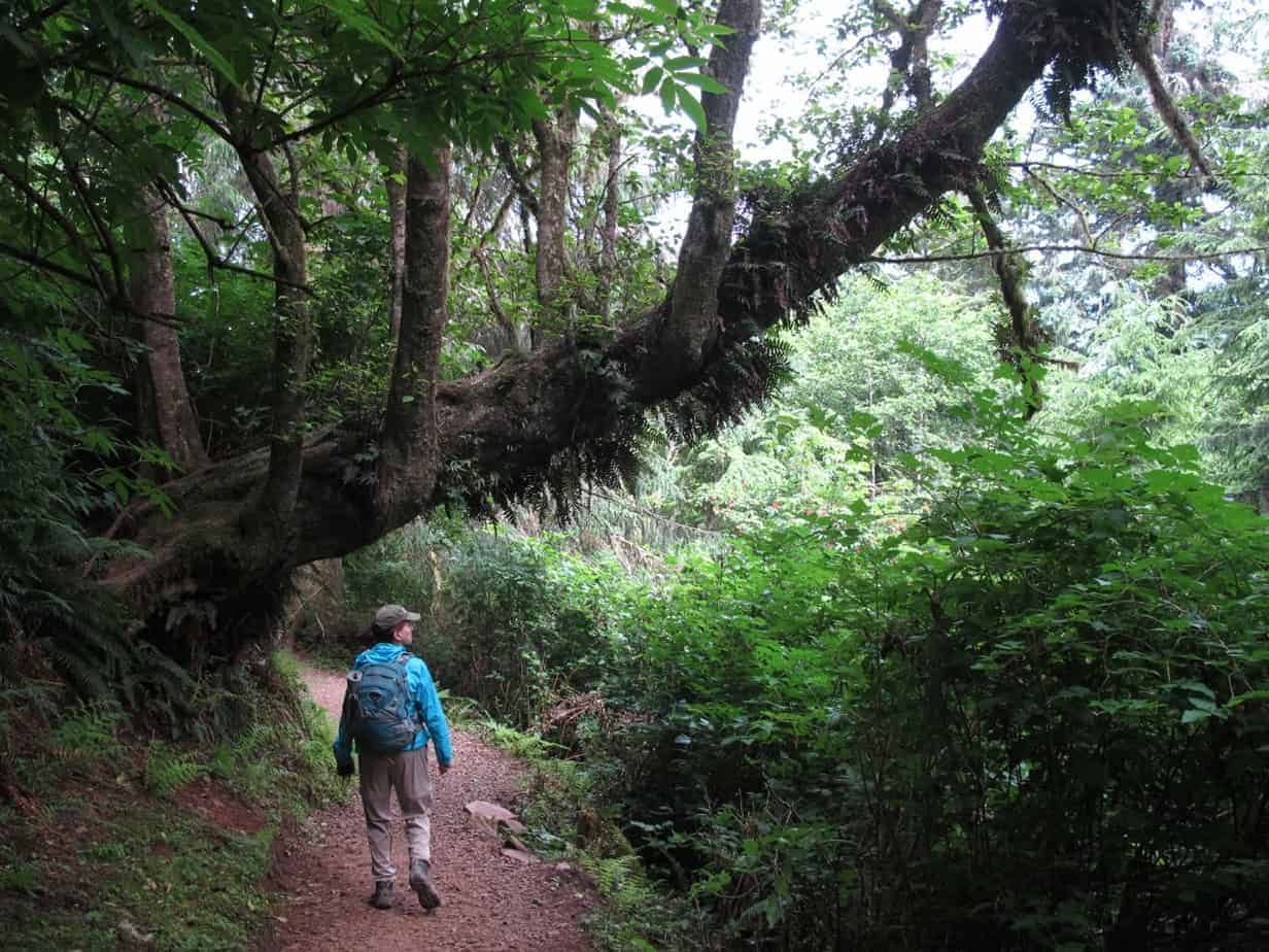
After a few minutes in younger forest, you’ll be hiking through that rarest of treats: a coastal old-growth forest. There are some nice Sitka spruces and hemlocks in here, and the whole thing is as peaceful as can be. Look, also, for interesting forest features like a split stump, “nurse” logs with new trees growing on them, and “widowmakers” hanging over your head.

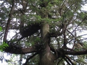
At half a mile out, the trail dips down among some giant hemlock trees, and at 0.6 miles you’ll come to a plaque honoring the flight crew of a B-17 bomber that crashed into the cape just to the west in 1943. After another half mile you’ll get a view north; look for the three rocks just off Cape Meares and the town of Oceanside. You can make out an arch in the middle rock; in fact, all three have such arches, and they’re called Three Arch Rocks.

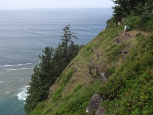
When you get to some moderately nerve-racking dropoffs on the left, along with inspiring views south, you’re almost done.

At the tip of the cape, you’re looking 270 degrees around and 400 feet straight down at the crashing sea. There is a protective cable at the end of the cape, but in other places you’ll be right at the top of a cliff. On a calm day—which is rare in a place that gets around 90 inches of rain per year—it’s not uncommon to see seals or sea lions down there.

The Stats
- LENGTH: 4.8 miles round-trip to end of cape, 3.6 miles round-trip to South Beach, 4.6 miles round-trip to picnic area
- CONFIGURATION: 3 out-and-backs
- DIFFICULTY: Moderate
- SCENERY: Old-growth forest, high cliffs, whales in winter and spring
- EXPOSURE: Shady, open at end, cliff-top walking
- TRAFFIC: Heavy on summer weekends, moderate otherwise
- TRAIL SURFACE: Gravel, dirt, mud
- HIKING TIME: 3 hours to end of cape, 2.5 hours to South Beach, 3 hours to picnic area
- DRIVING DISTANCE: 85 miles (1 hour 40 minutes) from Pioneer Square
- SEASON: Year-round, with mud and storms in winter and spring
- BEST TIME: July–September for the weather, March–April for seeing whales
- ACCESS: No fees or permits needed at the trailhead, but parking in day-use area is $3 per day
- WHEELCHAIR ACCESS: None
- MAPS: USGS Sand Lake
- FACILITIES: Portable restroom at trailhead May–September; restrooms, showers, and water at campground
- INFO: 503-842-4981
- SPECIAL COMMENTS: This park gets an average of 90 inches of rain annually—compared with Portland’s 37.5 inches. You’ve been warned.
Follow me on:
-
Twitter (@60HikesPortland)
-
“60 Hikes” page on Facebook
-
Instagram (pdx.paul.g)


Great hike, don’t recommend it in hurricane force winds, which is what I hiked in back in 2010. Would love to do it again when the trail is dry and the wind is calm.
Yeah, that doesn’t sound like much fun! Put it on your list for a nice day for sure.
Did this last month and there were unavoidable patches of 6″ mud. Still a lovely hike but prepare your footwear accordingly!
Thanks for that reminder, Gabby! With all the rain we’ve had lately, I bet there’s a lot of mud there.