


We’re all looking for a hike that’s close to home, within our abilities, and scenic without being swamped with people. Does such a place exist in Oregon?
Well, at certain times of year, absolutely. And if it isn’t the peak of summer on a weekend, the Little North Santiam Trail fits the bill perfectly. I think of it as “Opal Creek without the crowds.”
Little North Santiam Traihead is about a two-hour drive from Portland: down I-5 to OR 22, east towards Detroit Lake, then north (left) up the Little North Santiam Road for about 15 miles to Elkhorn Drive. Here’s the West Trailhead on Google Maps.
From there, it’s about 4.5 miles along the river to the East Trailhead farther up OR 22, near Shady Cove Campground. So you could do a shuttle, or some people stash bikes at the upper trailhead, do the hike, then bike back down the road. Or you can do an out-and-back for as much as you’d like, up to 9 miles.
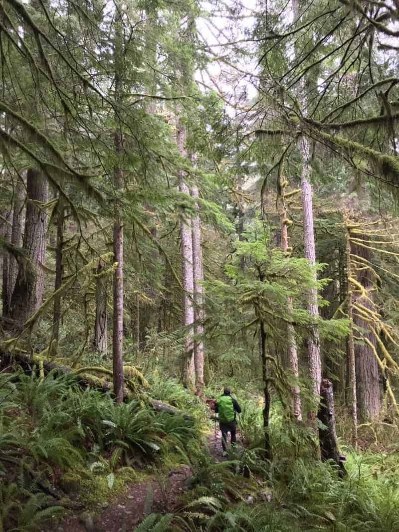
Basically the hike has three sections: the lower 1.5 miles from the West Trailhead, the upper 2 from the East, and the hill in between. But even the hill isn’t too intense, a climb of about 500 feet in a little over half a mile. But the views up there are more than worth it: a deep, narrow forested canyon with mountains all around and a raging river below.
In early February 2019, we started at West Trailhead did the lower section, the hill, and a little bit of the upper, to an area called Three Pools, where there will definitely be a lot of people in the summer since you can also drive there on the other side from the trail. So you would see those people but not necessarily share the trail with many of them.
But on our Sunday? We saw three other hiking groups all day, and nobody on the river.
Get a Signed Copy of my Book,
60 Hikes Within 60 Miles of Portland
Here is a video of a waterfall on the lower section, barely a mile out from the trailhead we used.
A little ways beyond that waterfall, you start up the hill. It gets steep in places, and the trail is rocky with lots of roots. So even with only 500 feet of climbing, we were pretty winded when it was over.

In fact, when the trail is wet it’s what I would call “sneaky tough,” because it’s hard to get into Cruise Mode when you have to keep an eye out for footing all the time.
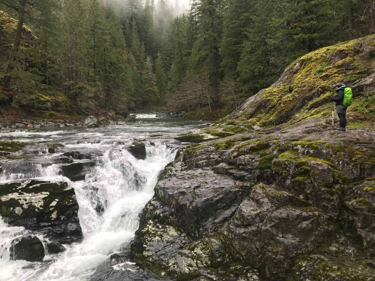
Beyond the viewpoint (right) you drop back down to the river and after another roly-poly mile arrive at the Three Pools, another spectacular series of waterfalls. There is also a dramatic rock pillar here, as well as a parking area on the far bank. So if it’s a warm summer day, especially a weekend, there will be folks swimming and hanging out here, but the great majority will be on the other side of the river.
Here is a video I shot from the Three Pools area, with the rock pillar in the trees to the right:
At that point, we headed back, but another mile up the river would have gotten us to the East Trailhead. So you could also start there and hit Three Pools just a mile downstream.
For more on this hike, see its Field Guide entry at oregonhikers.org.
Here is my GaiaGPS track for the day:
And here is a photo gallery from the day:


Read about more great hikes near Portland. Connect with Paul:
-
Twitter (@AuthorPaulG)
-
Instagram (pdx.paul.g)
-
“60 Hikes” page on Facebook.
-
I also write about life in a taxi, English soccer, and being in recovery
-
Get it all in my free monthly(ish) e-newsletter below: