


The question of how to get out and enjoy nature without a car can be a tough one. But hiking without a car in and around Portland is not as hard, or limited, as you might think.
As a perfect example, check out Oaks Bottom, a hike that’s in Portland and yet is suprisingly peaceful and natural. It’s also super easy to hike it without a car using public transportation.
Where is Oaks Bottom?
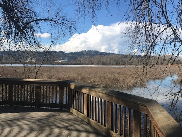
Oaks Bottom is a wetlands off the side the Willamette River, just north of the Sellwood Bridge. It’s the big pond you can see from near the entrance to Oaks Amusement Park.
Here are More Ideas for Car-Free Hiking From Portland
What is the Oaks Bottom Hike?
It’s a flat, easy, hike — much of it paved — that is part of the much larger Willamette Greenway Loop. It’s attached to both the Springwater Corridor and the Eastbank Esplanade, so the options for a walk here are tremendous.
You can stick to the paved walkway, perfect for strollers and wheelchairs, and you can add in woodsy, riverside wanderings. And at most of times of the year, you’ll see plenty of ducks and geese, as well.
Getting to Oaks Bottom on Public Transportaiton
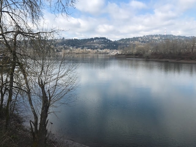
The start of this hike is Sellwood Riverfront Park, where there are bathrooms and a nice beach you can check out along the Willamette. The closest stop is at SE 7th and Tacoma on TriMet Bus 99, but that one doesn’t run often. The best bet is to aim for SE 13th and Tacoma on TriMet Bus 70. It’s a half-mile walk from there.
It’s also a half-mile walk from the “SW Macadam and Sellwood Bridge” stop on TriMet Bus 35.
Use TriMet’s Trip Planner to aim for Sellwood Riverfront Park.
How to Hike Oaks Bottom
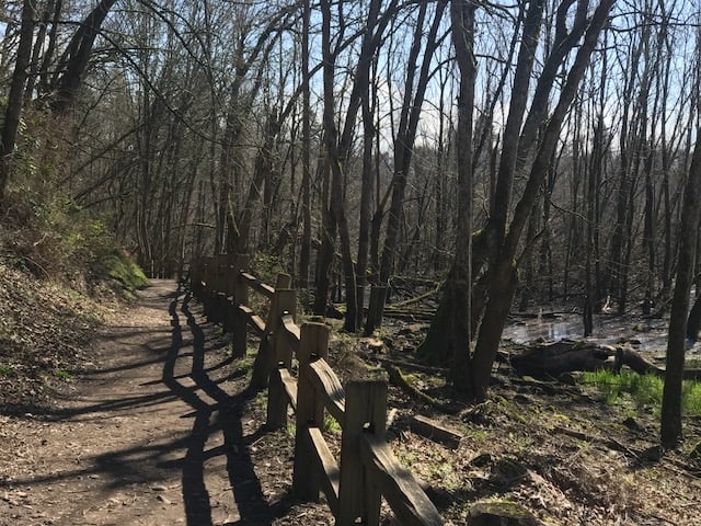
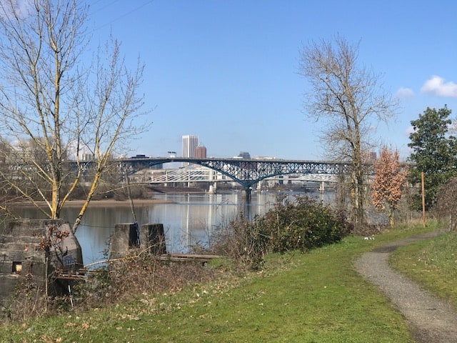
From the park at Spokane Street and Oaks Park Way, cross over the railroad tracks and start up the paved path. For me, the best loop option is to walk up the paved path until you’re ready to turn around — the Ross Island Bridge is about three miles up — and then, on the way back, divert right into the trees by the river. When that trail crosses the paved path, go under the train tracks and into Oaks Bottom itself, where if you stay right you’ll wind up passing along the pond’s shore and then winding up back where you started.
Here’s another version (which actually starts at nearby Sellwood Park) from the Field Guide at OregonHikers.org, which is owned and operated by volunteers with Trailkeepers of Oregon.
Read about more great hikes near Portland. Connect with Paul:
-
- Twitter (@AuthorPaulG)
- Instagram (pdx.paul.g)
- “60 Hikes” page on Facebook.
- I also write about life in a taxi, English soccer, and being in recovery
- Get it all in my free monthly(ish) e-newsletter below: